
~Lumbutts & Mankinholes~
27th February 2010
No, not a firm of solicitors, but two small Yorkshire hamlets on the hillside above Todmorden in West Yorkshire. My brother, Peter, and I had intended for a good high level walk between Todmorden and Hebden Bridge, but the weather played its part and we adjusted our plans as a result of low cloud and a chilly wind....
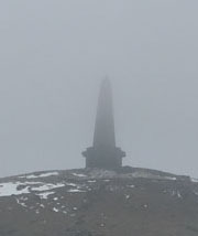
Stoodley Pike
Scroll down for photos and a description of the walk
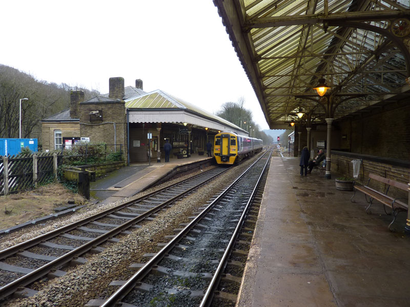
Hebden Bridge Station
A familiar plan for Peter and I to use public transport in one direction and today we would travel from HB to Todmorden and walk back. Here I am on the westbound platform as a Leeds-bound train awaits departutre on the other platform. Why are the platforms offset in this way? We went in search of the answer.
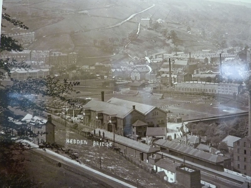
Old Photo
This old photo is part of an exhibition in the General Room on Platform 1. Where the car park now sits, there was once a large warehouse and behind it is a playing field, where today there is a park. Up on the hillside is a road which on to the moors and leads back to Lancashire way above the valley. The fields have been replaced by woods and the road would not be visible from here today.
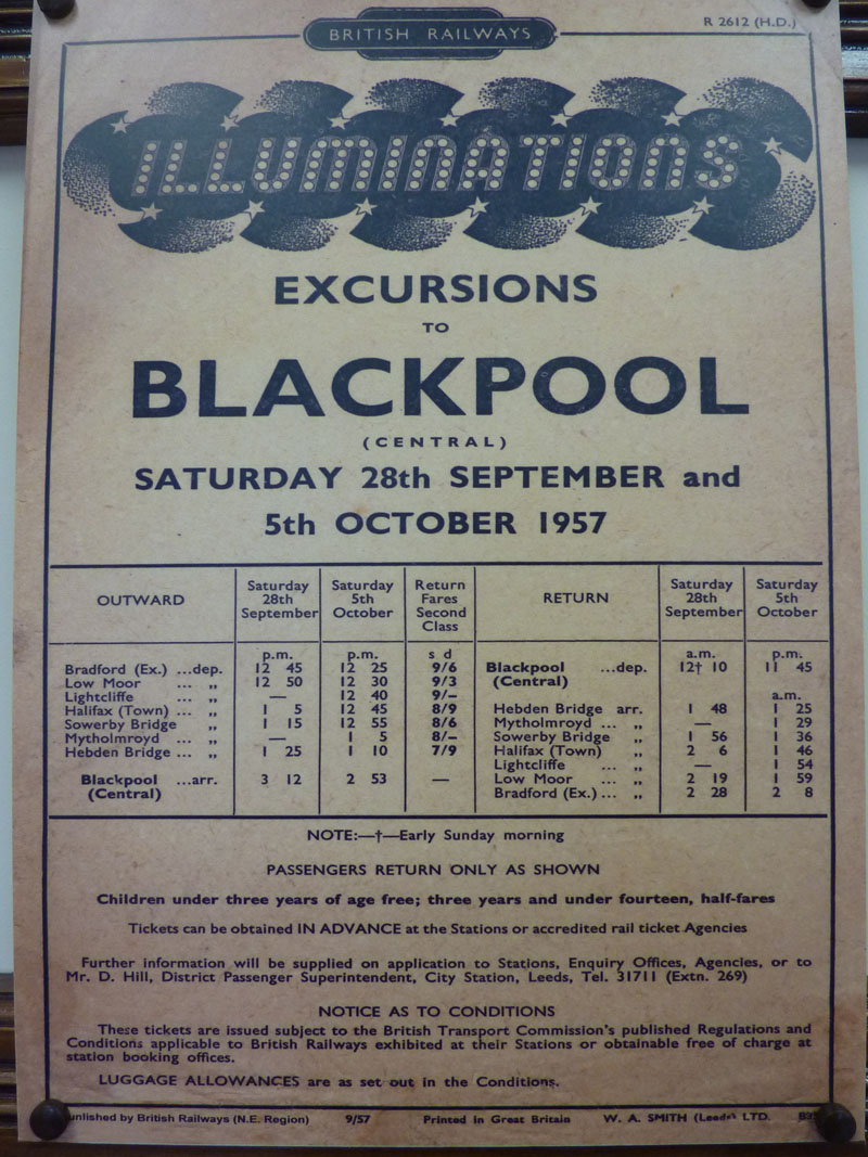
Excursions
Could you make the same journey today? What do you make of the return time on Saturday 28th September?
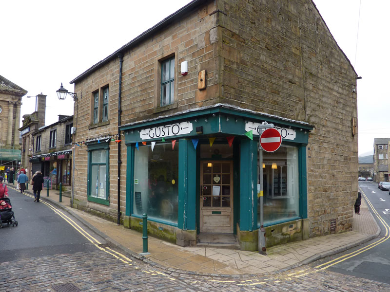
Gusto Cafe
It's 11:05 when we arrive in Todmorden and we decide on a little fortification before setting off on the walk.
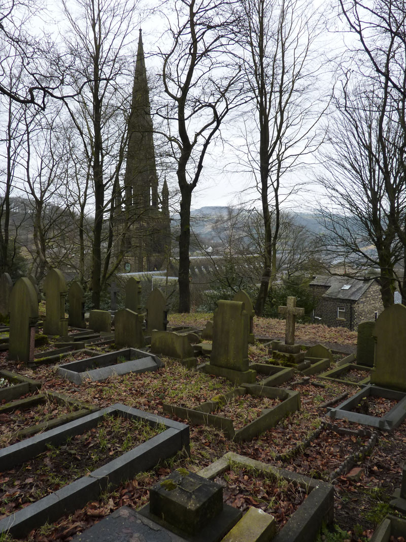
Todmorden Unitarian Church
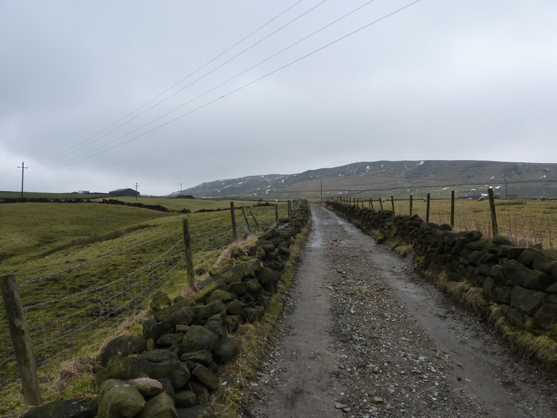
The Way Ahead
After our snack, we headed out of Todmorden and up the steep hill past the church and into the countryside.
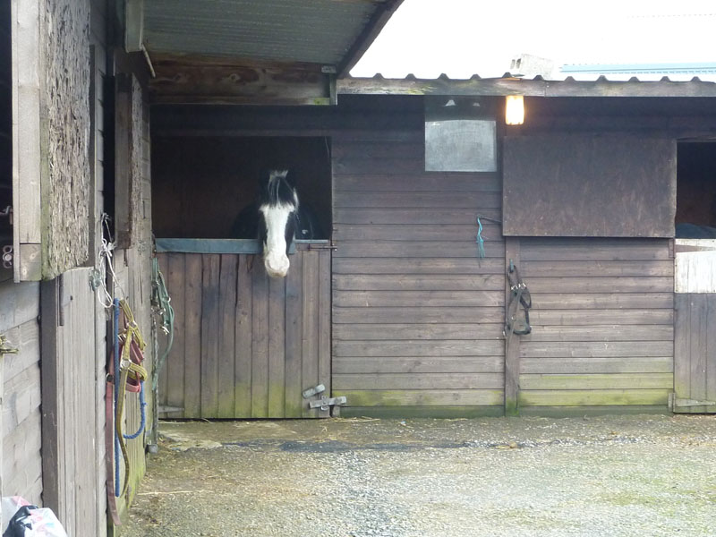
Longfield Equestrian Centre
A large equestrian centre and our footpath went through the yards.
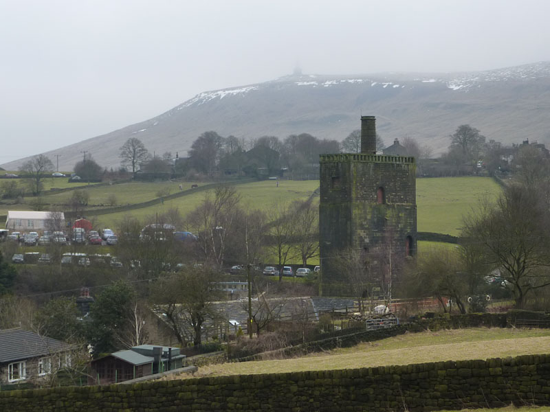
Lumbutts Water Tower
The tower dominates the view from far away. You can also see Stoodley Pike Monument and lots of cars. It turns out there was fell race in progress and these were the cars of participants, supporters and marshalls. Each unto their own.
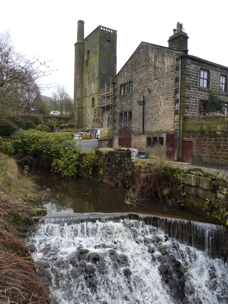
Water Tower
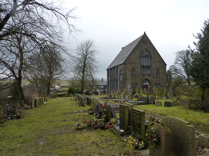
Lumbutts Methodist Chapel
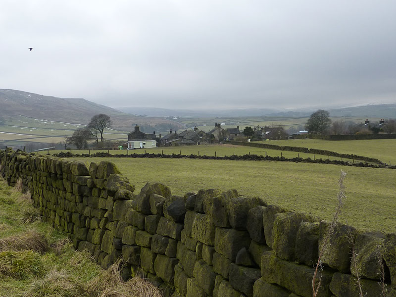
Mankinholes
We decided not to take the high route to the Stoodley Pike Monument due to the low cloud and chilly wind. Instead we plotted a route that would join the Rochdale Canal to take us back to Hebden Bridge.
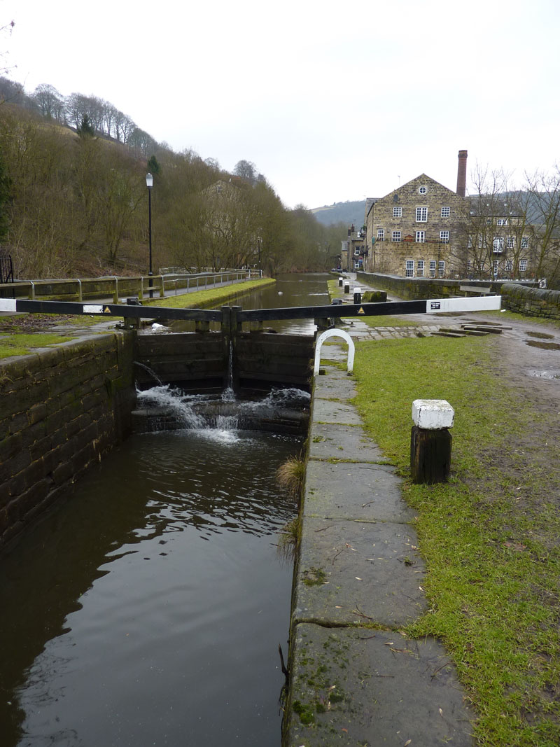
The Rochdale Canal
Our first view of the canal. The footpath has led down through woods to this point near Holmcoat Bridge. The OS map OL21 that I have, revised 2001 shows a pub in this vicinity, presulably on the main road. But there is no such thing and I don't think I can remember there having been one. GR 965 253 ish.
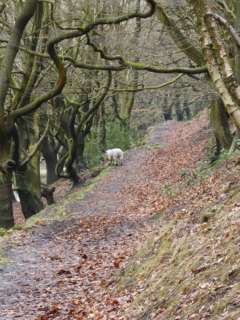
The Lost Sheep?
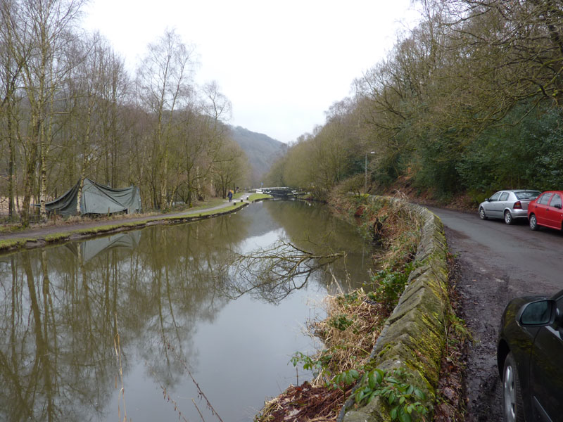
The Rochdale Canal
This is the point where we joined the canal and this photo is looking back to the bridge.
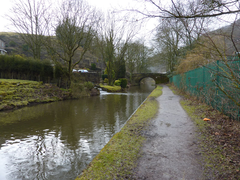
Hebden Bridge
We have arrived in Hebden Bridge and the skies remained grey throughout, we stayed dry. Not a great day for photographs, but we appreciated the flexibilty offered by the great choice of footpaths in the area around Mankinholes. The monument can be visited on a brighter day and it is true that both us have been up there at different times, many years ago.
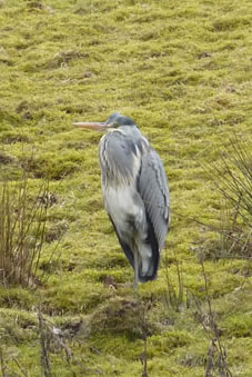
Heron
Walkers: Peter Ratcliffe and Me
Time taken: 2hrs 45mins over a distance of approx. 7 miles.
Route: Todmorden, on the Calderdale Way, Lumbutts, Mankinholes, past Middle Stoodley Farm, Height Wood, Rochdale Canal, Hebden Bridge, the station.
Weather and conditions: Dull and grey.
Greetings Count: Moderate, plenty of walkers about.
Richard's Refreshment Review: Gusto Cafe , It ticks most of the boxes and bear in mind I review these places in the context of what they present themselves to be. Good choice, good food, prompt service all at a reasonable price.
All photos copyright Richard Ratcliffe 2010 © Leave a comment below if you like, it's quick, free and painless.